RGB and thermal acquisition
Aerial survey planned for coverage, resolution, irradiance and environmental conditions. Thermal images are interpreted as indicators for verification, not as an electrical diagnosis.
 IT ↗
IT ↗UAS surveys for photovoltaic plants, roofs and energy infrastructure. RGB and thermal capture, located findings and clear documentation to plan follow-up checks.
We support owners, installers, EPCs and O&M teams with asset documentation. Before mobilisation, we define objectives, area, access and expected data; during capture, we check coverage and quality; in delivery, we make findings clear and traceable. The drone is a tool: results depend on the agreed scope and site conditions.
GREEN ENERGY INSPECTIONS
UAS-assisted RGB and thermographic acquisition to locate indicators for verification and organise targeted follow-up. Activities are planned for the site, environmental conditions, access and criteria agreed with the client.
Discuss your plant ↗Aerial survey planned for coverage, resolution, irradiance and environmental conditions. Thermal images are interpreted as indicators for verification, not as an electrical diagnosis.
Images linked to position references and a map of points for follow-up checks. Where available, plant layouts and string identifiers help improve location detail.
Summary of findings, selected images and follow-up references. Format, detail level and map references are agreed before the assignment.
The survey documents observable visual and thermal indicators and can support the technical team in planning further checks. It does not replace electrical diagnosis, field testing or assessment by qualified personnel, and does not independently certify plant performance. Reference to IEC TS 62446-3 is assessed against the purpose and conditions of the assignment; it does not imply service accreditation or certification.
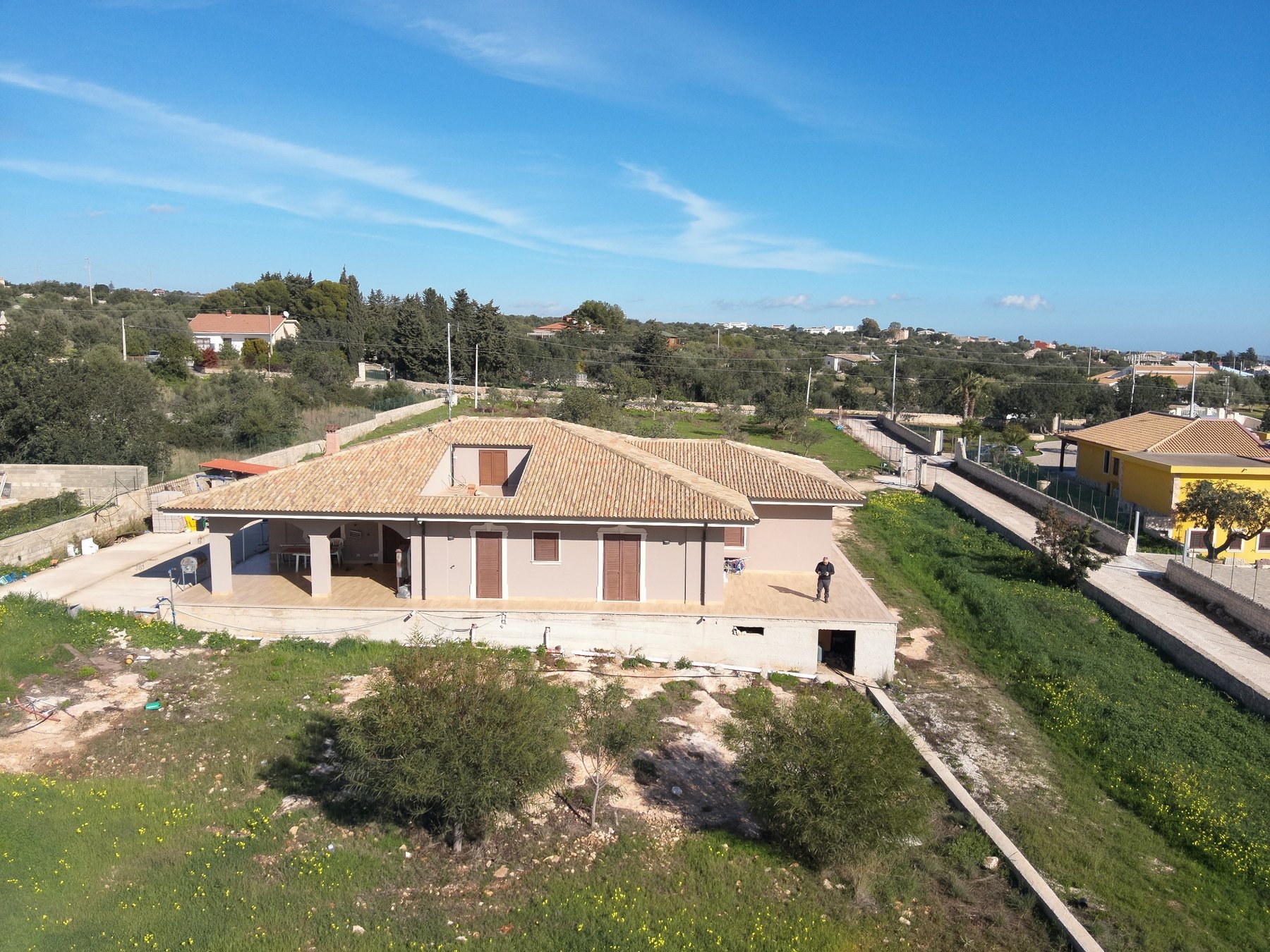
A selection of field captures and outputs: RGB images, thermograms, a 3D model and an orthomosaic. Coverage, accuracy and format are defined for each project based on its objective, site and operating conditions.
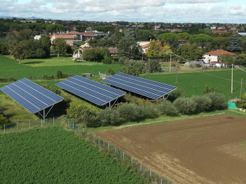
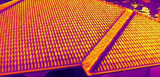
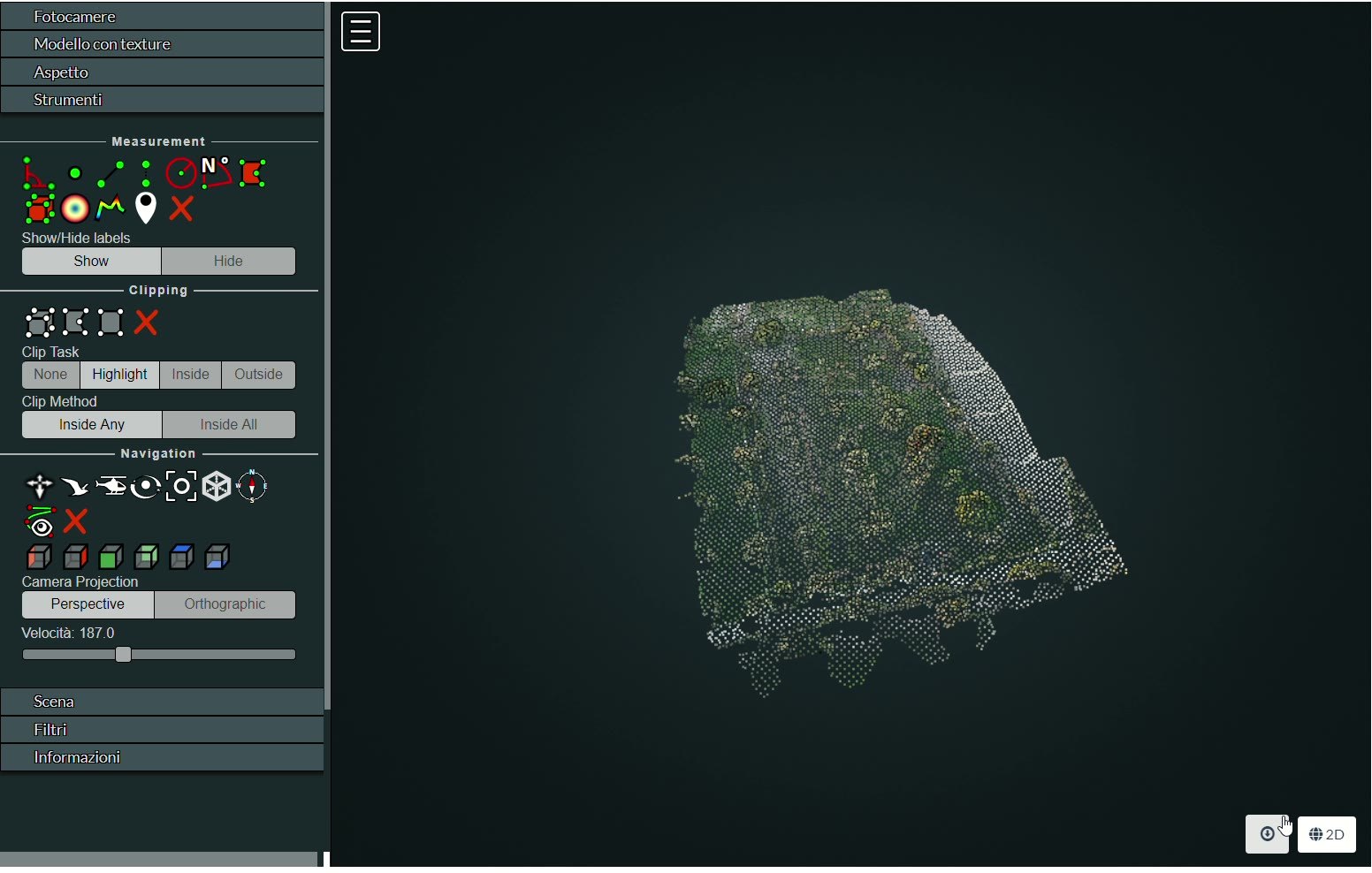
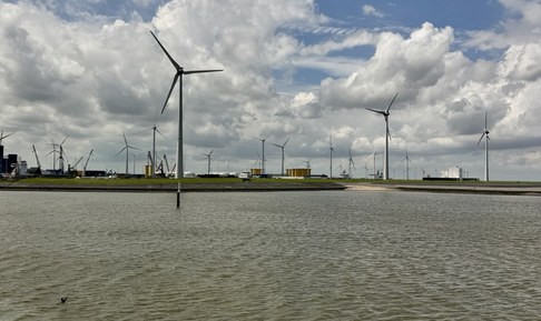
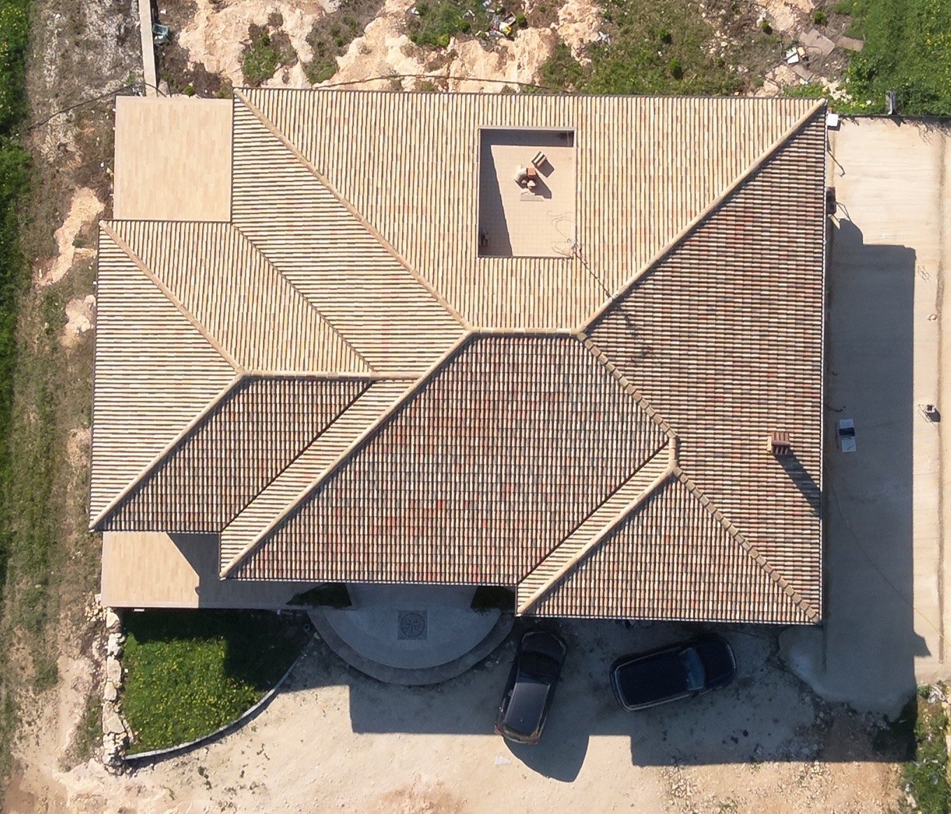
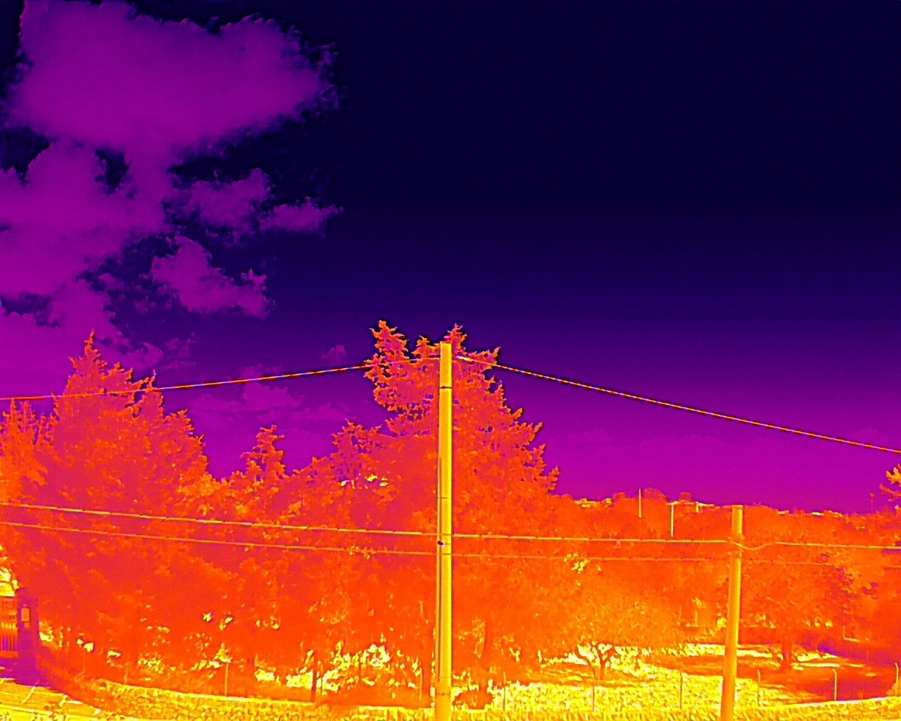
RGB and thermal capture, selection and location of findings. Documentation for monitoring, maintenance and re-inspection within an agreed scope.
Aerial documentation of roofs and visible components: coverings, protrusions, eaves and areas of interest. Orthophoto or 3D model when requested and suitable.
Repeatable captures to document work progress, installation and site changes; time comparisons subject to available data.
Aerial visual surveys of selected components and energy infrastructure to record observable conditions and identify areas for further assessment.
UAS capture can document roof areas that are difficult to view from the ground and organise images by area or feature. Depending on size, access, lighting and flight conditions, delivery may include selected photographs, an orthomosaic and, if included in scope, a 3D model.
Survey limit: this is an aerial visual inspection. It does not certify water-tightness, waterproofing or structural safety and does not replace a close technical inspection.
Objective, access, area, conditions and deliverable criteria.
UAS profile, image plan and resolution matched to the site and objective.
Capture, coverage review and checks for sharpness, completeness and data consistency.
Selected images, location references and a report in the format defined at briefing.
Delivery is not a fixed package: it is sized to the issue, the site and the systems already used by the client.
Giovanni Lucenti · remote pilot and UAS operator registered with D-Flight.
Competency certificates for Open category A1/A3 and A2.
Practical part completed. Theoretical exam pending; the full STS-01 qualification has not yet been obtained.
Crew Resource Management and aeronautical communications training completed.
The operating category, UAS and required authorisations are checked for each assignment.
To prepare a proposal, tell us the location, asset type, area or capacity, objective, access and timing. For PV, include a layout, site plan and operating status if available; for a roof, tell us the covering type and areas to document.
info@glmarinesurveyors.com ↗